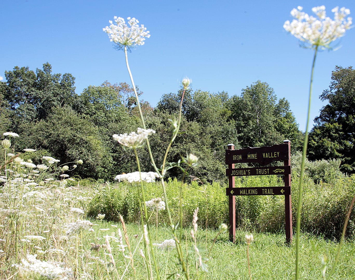
Trail Map:Click here for the Iron Mine Valley trail map. You will need Adobe Acrobat to view or print our trail maps. Directions: Access the East Side Trail from Iron Mine Lane: Go north 2.8 mi from the intersection of Route 89 and Route 44 in Ashford. Turn right onto Iron Mine Lane. At 0.2 miles turn left into a woods road and park on the right (except when there is snow). Walk downhill, around the gate, on Iron Mine Lane to trailhead 0.6 miles on the right. Access the the West Side Trail from Sand Hill Road: Go north 2.8 miles from the intersection of Route 89 and Route 44 in Ashford. Turn right onto Sand Hill Road. Continue on gravel section a short distance. Look for the Trust sign on the left.
About the Property
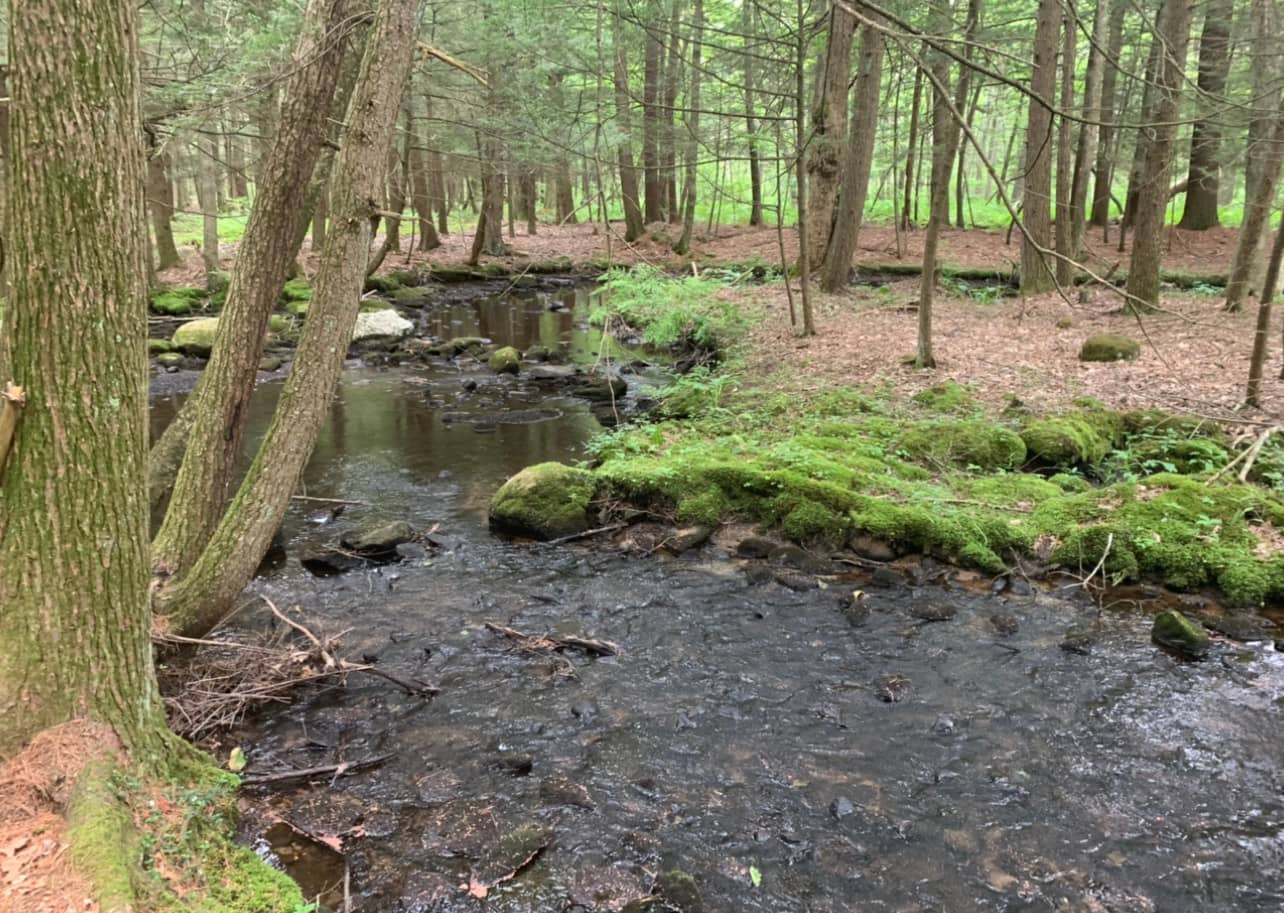
Iron Mine Valley Preserve was given to Joshua’s Trust in 1990 and 2001 in two separate parcels, both subdivision set-asides. The Preserve provides important protection for the east branch of the Mount Hope River which flows through its eastern edge. In Revolutionary War times, bog iron was mined from the wetlands associated with the river. Today, the mix of swamp, marsh, and upland forest provide both scenic vistas and important wildlife habitat. Beaver, otter, and wading birds are some of the wildlife that may be observed.
Location: Ashford, Connecticut. Sand Hill Road or Iron Mine Lane, off Route 89 Acreage: 52 Preserved: Two separate tracts, in 1990 and 2001 Stewards: Brian Folker